
Ghanas Inspiring History Unveiled
Discover Ghanas rich history, from ancient kingdoms to modern democracy, through vibrant festivals, stunning…
Ghana-Net.com · Upper East Region · Paga Nania
A field of granite boulders three kilometres from the Burkina Faso border, with bowls hollowed into the rock by the people who were held here. This is where the chain begins. Every year tens of thousands of diaspora visitors stand in the dungeons at Cape Coast and Elmina. Almost none of them come to the place the people in those dungeons were taken from.
Almost nothing, until someone shows you. That is the first thing to understand about Pikworo, and the reason a guide is not optional here.
There is no building. No wall, no gate, no dungeon, no cannon. What there is: open ground, scrub, and granite outcrops scattered across it — boulders that look as though they stopped mid-fall. On a first look it is a rock field in the Upper East. Under instruction, it becomes something else entirely.
Shallow scoops hollowed into the flat tops of the boulders, in clusters, dozens of them. They were cut by the captives themselves, and they were the plates. The size of each bowl indicates how many people ate from it. You can put your hand into one. This is the detail visitors remember, and it is the reason the site works without a single reconstructed building.
A split in one of the largest rocks that holds water. It is why the camp is here at all — reliable water in a region where water is not reliable — and accounts describe it as the source the captors drew from.
Accounts of exactly what was done here vary between guides and sources, but the core is consistent: people who tried to escape or disobeyed were chained or held on this rock, exposed, made to face the sun, without food or water, while others were made to watch. Some accounts say prolonged exposure blinded them. Some say a third offence meant execution.
Certain boulders ring when struck — different stones, different pitches. Guides describe them as having been used for drumming in the evenings, and the standard telling is that this was entertainment permitted to the captives. Whether that is better read as relief or as a mechanism for keeping a valuable cargo alive is a question the site does not answer for you.
Traditional graves for those who died here, mostly from punishment or from the conditions. Locally these dead are not treated as historical. The belief in this area is that souls who died in this manner remain unsettled, and rites are still required. Behave accordingly.
The highest outcrop, used as a watch point. Not against escape — against rival raiders coming to take the captives. That detail tells you what the people held here represented to everyone in the landscape: stock.
Pikworo was a collection and holding point, not an endpoint. People were taken in raids across the north and from further north still — into what is now Burkina Faso — and brought here to be held and auctioned. Accounts put an average of around two hundred people at the camp at any one time.
From here they walked. Roughly 150 kilometres south to the market at Salaga, on foot, chained. At Salaga they were sold again. From Salaga the route ran on south through further holding points to the coast, to the forts, and onto ships.
The whole route, in order: Pikworo and the northern raiding grounds → Salaga → Assin Manso → Cape Coast and Elmina → the Atlantic. Four of those five links are on this site. If you are travelling for heritage reasons, this is the sequence, and it runs north to south. Most itineraries sold to the diaspora start and end in the last two.
The Ghana Tourism Authority has itself made this argument. Its regional leadership has publicly described Pikworo as the root of the enslavement of Ghanaians and argued that PANAFEST should begin there rather than on the coast. That has not translated into visitor numbers, funding or road access, and Pikworo remains one of the least developed significant heritage sites in the country.
This section exists because we could not find a version of Pikworo's history online that distinguishes between documented record and site tradition, and the difference matters at a place like this.
Founded 1704, active until 1845. That pairing appears on the Ghana Tourism Authority's own pages, on Wikipedia, and on every travel listing about the site — always in the same form, and never with a source attached. It has been copied forward rather than established. It may well be broadly right. Treat it as the received account rather than as a documented fact, because that is what it is.
In 2022 the Ghana News Agency reported a site guide's account that the trade here ended in 1762, when Samori Touré and Babatu were killed by the Paramount Chief of Sandema while attempting to seize young people from the Builsa area.
Samori Touré died in exile in 1900. Babatu was raiding the Gurunsi lands in the 1880s and 1890s. The date given precedes both men by well over a century, and neither was killed by a Builsa chief.
This is not a reason to doubt the site or to dismiss the guides, who are the reason the place is legible at all. It is an illustration of something real: oral site history in this region compresses different raiders, different decades and different resistances into a single story, and published Ghanaian reporting passes it on unchecked. The Builsa did genuinely resist the slave raiders — that resistance is commemorated every year at the Feok festival at Sandema — but the chronology attached to it at Pikworo has drifted.
What is firm: the physical evidence. The bowls are cut into the rock. The graves are there. The water source is there. Nobody is arguing about whether people were held at Pikworo and marched south — the argument is only about dates and names, and you should know which is which before a guide tells you something and you repeat it.
Pikworo was operated as a collection outpost by African traders, who sold to English, French and Dutch buyers. The raiding that filled it was carried out by African raiders — the Zabarima under Babatu and others, mounted, armed, and taking captives from communities that had no cavalry and no firearms.
This is not a revisionist point and it does not reduce European responsibility by a single degree. The Atlantic demand created the market, the ships were European, the plantations were European-owned, and the scale was set in Europe. But the supply chain ran on African capture and African sale, and the people at the top of it grew powerful on it.
The reason to say so at Pikworo specifically is geographic. The victims were overwhelmingly northern. The profits were overwhelmingly not. The wealth built by the trade accumulated among the coastal states and the forest kingdoms that sold on to the Europeans. The Upper East and the Northern regions supplied the people and kept none of the proceeds — and they are still, by every development indicator Ghana publishes, the poorest parts of the country.
That pattern did not end when the trade did. Heritage tourism revenue in Ghana flows almost entirely to the coastal castles. Pikworo, where the same story starts, has a dirt approach road and a handful of guides.
An hour to ninety minutes on site. Longer if you sit with it, and people do.
Paga Nania, roughly three kilometres west of Paga, in the Kassena-Nankana West District of the Upper East Region. Paga sits directly on the Burkina Faso border — the frontier post is in the town.
The practical base. Bolga to Paga is a short run north on a decent road, with regular trotros and shared taxis through the day. From Paga you will need a taxi or motorbike for the last few kilometres west to the camp — arrange the return at the same time.
Around four hours. Tamale is the nearest airport with reliable scheduled flights from Accra, which makes flying north and hiring locally far more sensible than driving up from the coast. Combine with Mole if you are already making the trip.
Do not attempt this as a drive unless you have days to spend. It is the length of the country on roads covered on our public transport page, and the honest advice is to fly to Tamale and travel on from there.
The border is in Paga and crossing is physically simple. Whether you should is an entirely separate question of current security and entry requirements, and it is not one a travel page should answer for you. Check your own government's current advice before planning anything that continues north.
Paga is known nationally for one thing, and it is not Pikworo. It is the crocodile ponds — sacred crocodiles which by long local tradition do not harm people, and which visitors are invited to sit beside and touch for a photograph, with a live chicken involved in the arrangement.
It is genuinely interesting, the taboo protecting the crocodiles is real and has kept a population alive, and it is the reason most Ghanaian and foreign visitors come to Paga at all.
It also draws considerably more traffic, revenue and attention than the slave camp three kilometres away. Both sites are in the same small town, on the same afternoon, for the same visitor. One is a photograph with a reptile. The other is where the people in the coastal dungeons were taken from.
We are not suggesting you skip the crocodiles. We are suggesting you notice the allocation.
Ghana's own tourism officials have said publicly that Pikworo is among the country's most significant sites and that little has been done to develop it. Expect basic facilities, minimal signage, an unsealed approach and no visitor centre worth the name. This is not a complaint about the guides, who are doing the work with what they have.
The bowls: cut by all captives, or cut as punishment by those who tried to escape? You will hear both. The punishment rock: chained, or made to kneel and track the sun? Both. Different guides carry different versions of an oral record, and none of it is written down. Ask questions rather than assuming the first version is definitive.
If you are coming from Cape Coast or Elmina expecting comparable scale, architecture or curation, you will be disorientated. Pikworo is a landscape with marks in it. Its power is entirely different and, for a lot of visitors, considerably greater — because nothing has been built over it.
Pikworo makes most sense as part of a northern circuit rather than a detour: Salaga, the defence walls at Gwollu and Nalerigu built to keep raiders out, the Feok festival at Sandema, and the Zabarima raiding history. The coast tells you where people were shipped from. The north tells you where they were taken.
Practical details last verified . The 1704–1845 operating dates are the account given by the Ghana Tourism Authority and repeated across published sources without attribution to a primary record, and are presented here as received tradition rather than established fact. Descriptions of the eating bowls, punishment rock, cemetery and lookout are drawn from published guide accounts and visitor records, which differ in detail and are noted where they do. The 1762 date and the Samori Touré and Babatu account reported in 2022 are chronologically inconsistent with the documented lives of both men and are discussed on that basis. Fees, guide arrangements and road conditions change — confirm locally before travelling.
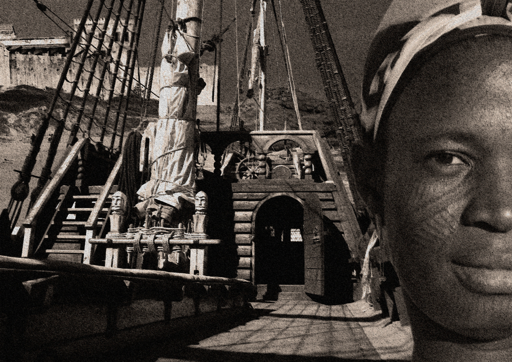
Transatlantic slave trade. Photo composite with Cape Coast Castle background by Remo Kurka, Ghana